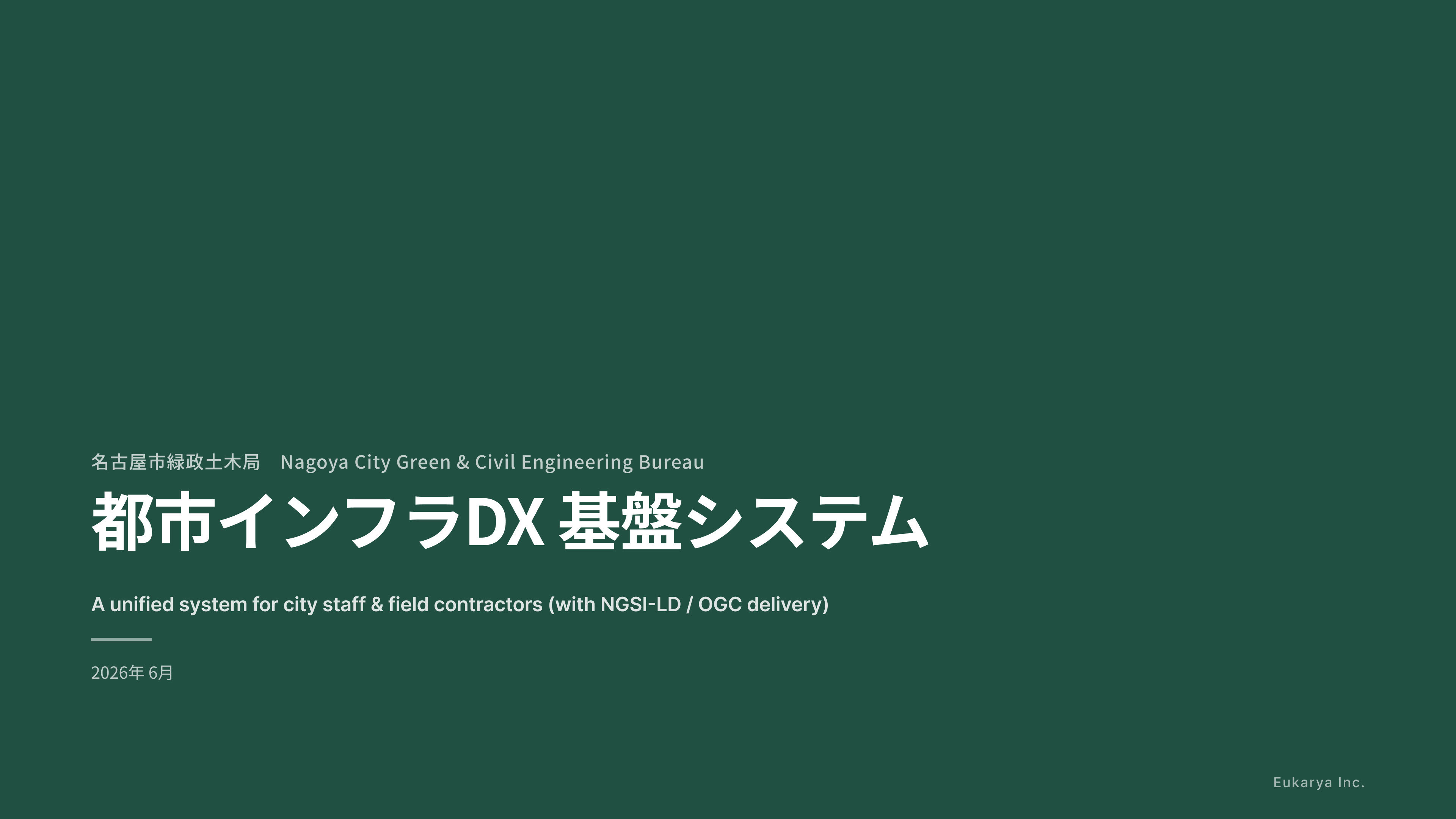
名古屋市緑政土木局の RFI に応答する Eukarya プロトタイプ紹介デッキ。公園・施設の GIS と、点検・修繕の業務ワークフロー(庁内職員 × 現場業者)を単一スタックで提供する実装例。
Eukarya prototype deck for the Nagoya City Greenery and Public Works Bureau RFI, showcasing a unified GIS and inspection/maintenance workflow platform for municipal staff and field contractors.
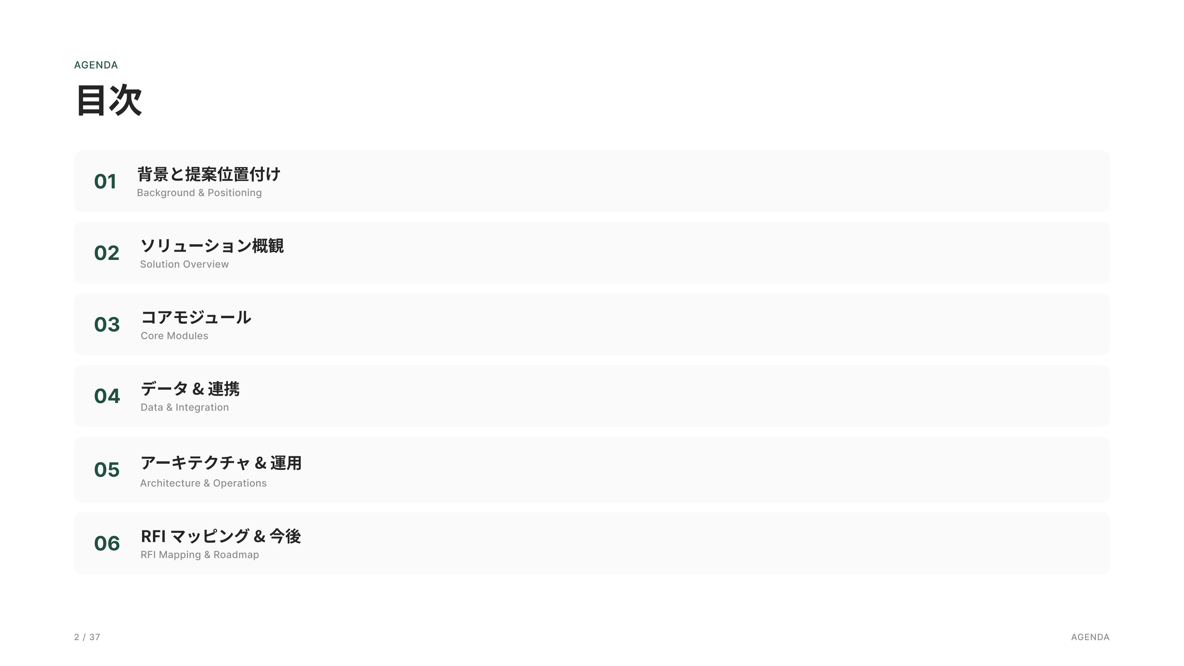
背景・提案位置付け、ソリューション概観、コアモジュール、データ連携、アーキテクチャ/運用、RFIマッピング、ロードマップ、Appendix、Brief。
Background & Proposal Context, Solution Overview, Core Modules, Data Integration, Architecture & Operations, RFI Mapping, Roadmap, Appendix, and Executive Brief.
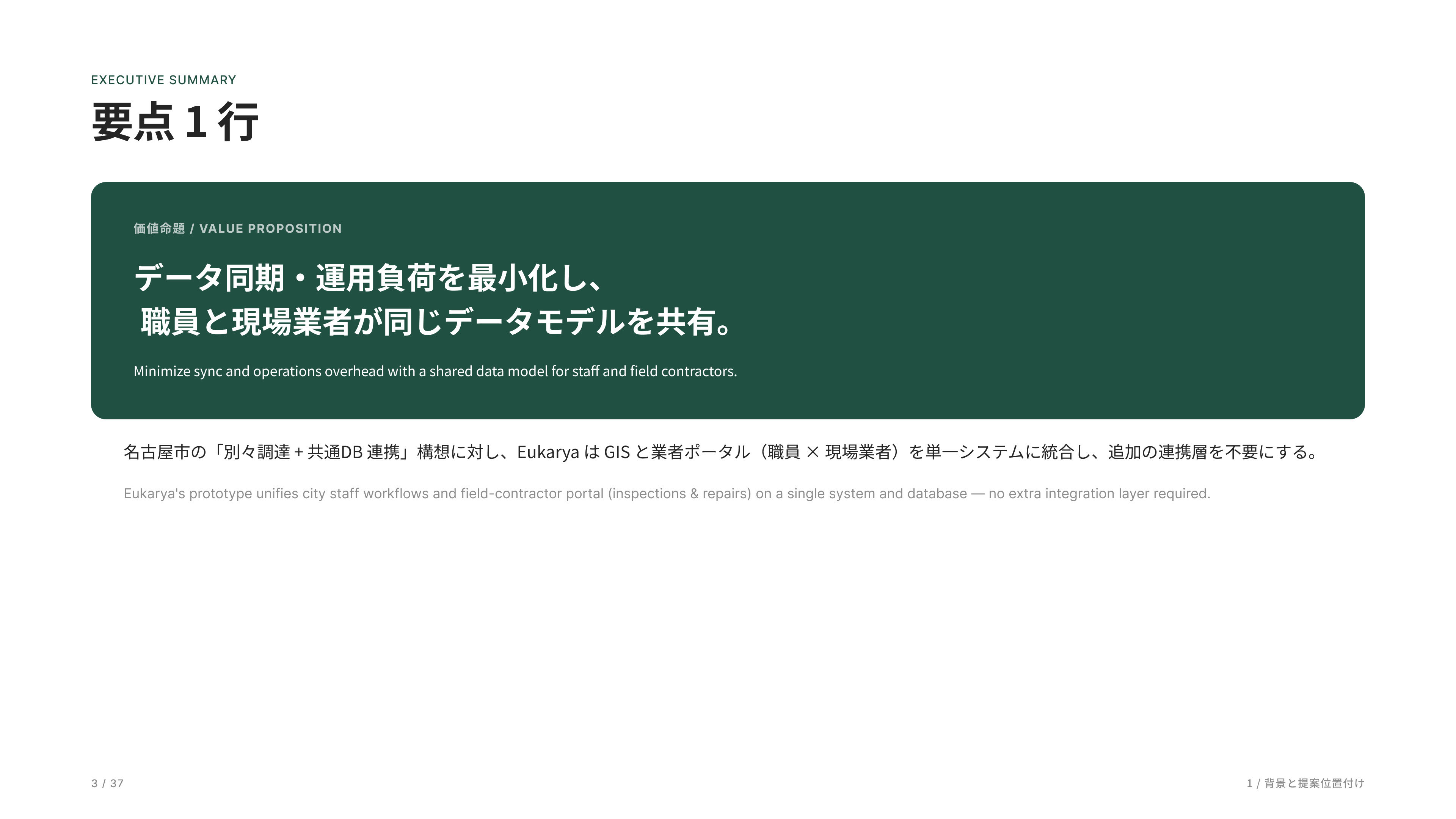
このプロジェクトの核は、「庁内業務と現場業者を一つのシステムで扱える」ことです。
職員は地図と案件管理、業者はタブレットで現場入力を行い、両者が同じデータベース・同じデータモデルで動いています。
そのため、連携層や同期処理、整合監視が不要なのが構造的な強みです。
The core of this project is a unified platform that connects municipal staff and field contractors within a single system. Staff manage assets and work orders through GIS-based tools, while contractors perform field inspections and updates via tablets. Both operate on the same database and data model, eliminating the need for integration layers, synchronization processes, or data consistency monitoring.
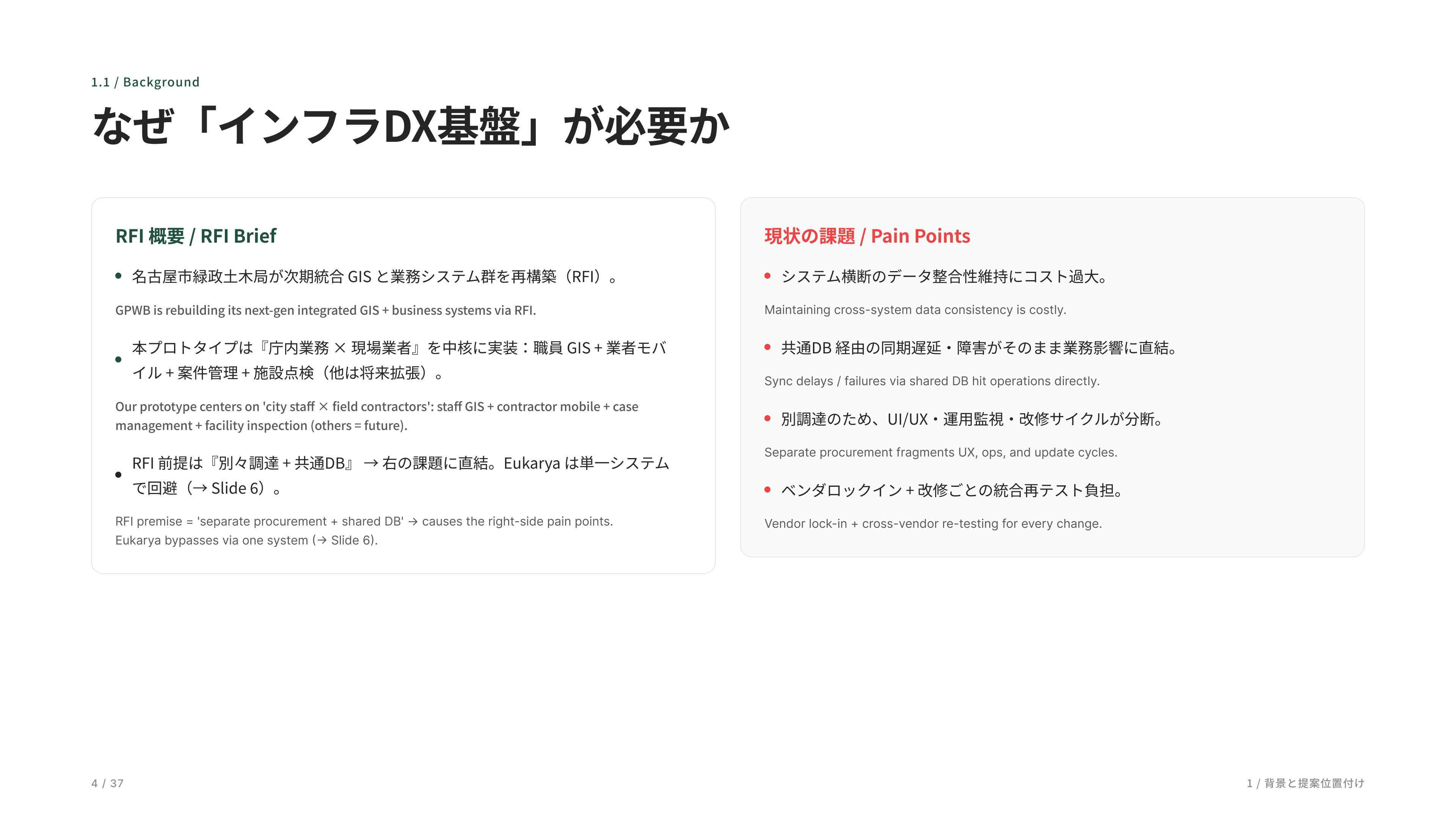
ここで RFI の背景と現状課題を説明します。名古屋市の RFI は、「複数ベンダを共通DBで繋ぐ」前提の構成です。ただ、その方式ではデータ整合コスト、同期遅延、UX・運用分断、ベンダロックインといった構造的な問題が発生します。私たちは、庁内と現場を一つのシステムに統合することで、それらを構造ごと回避しています。
This section outlines the RFI background and current challenges. The Nagoya City RFI assumes an architecture where multiple vendors are connected through a shared database. However, this approach introduces structural issues such as data consistency costs, synchronization delays, fragmented user experiences and operations, and vendor lock-in. Our approach avoids these challenges at the architectural level by unifying municipal staff and field contractors within a single integrated system.
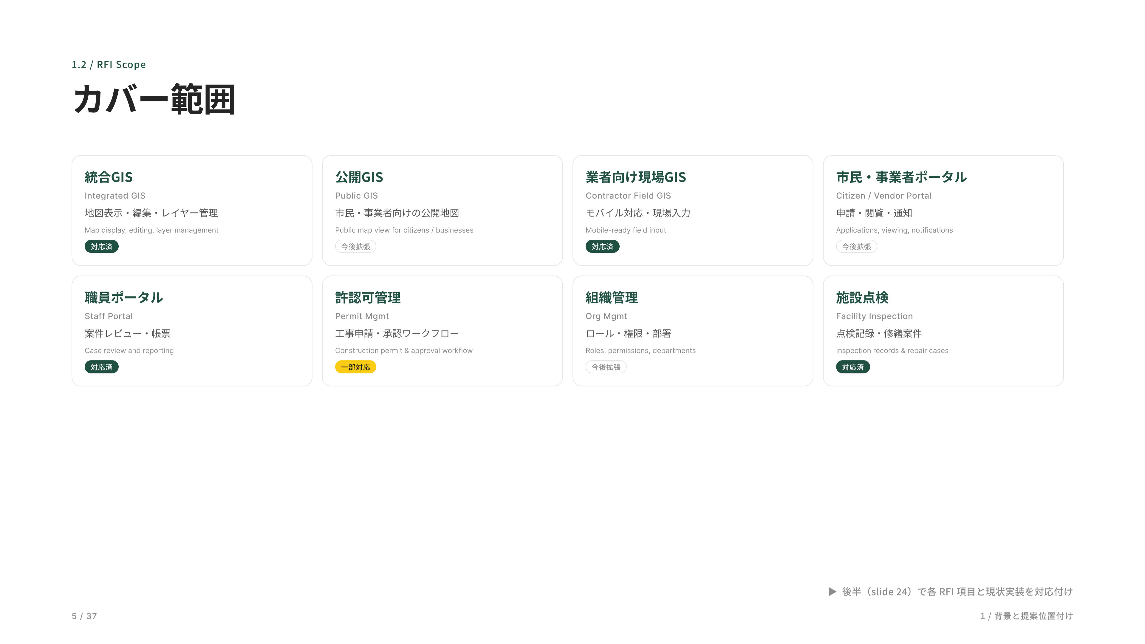
RFI が要求する 8 つの領域を一覧にしました。各カードのバッジで実装状況が分かるようにしてあります。緑が「対応済み」で 4 つ、黄色が「一部対応」が 1 つ、グレーが「今後拡張」予定です。
This slide summarizes the eight domains defined in the RFI. Status badges indicate the implementation level for each area: green represents fully supported capabilities, yellow indicates partial support, and gray marks areas planned for future expansion.
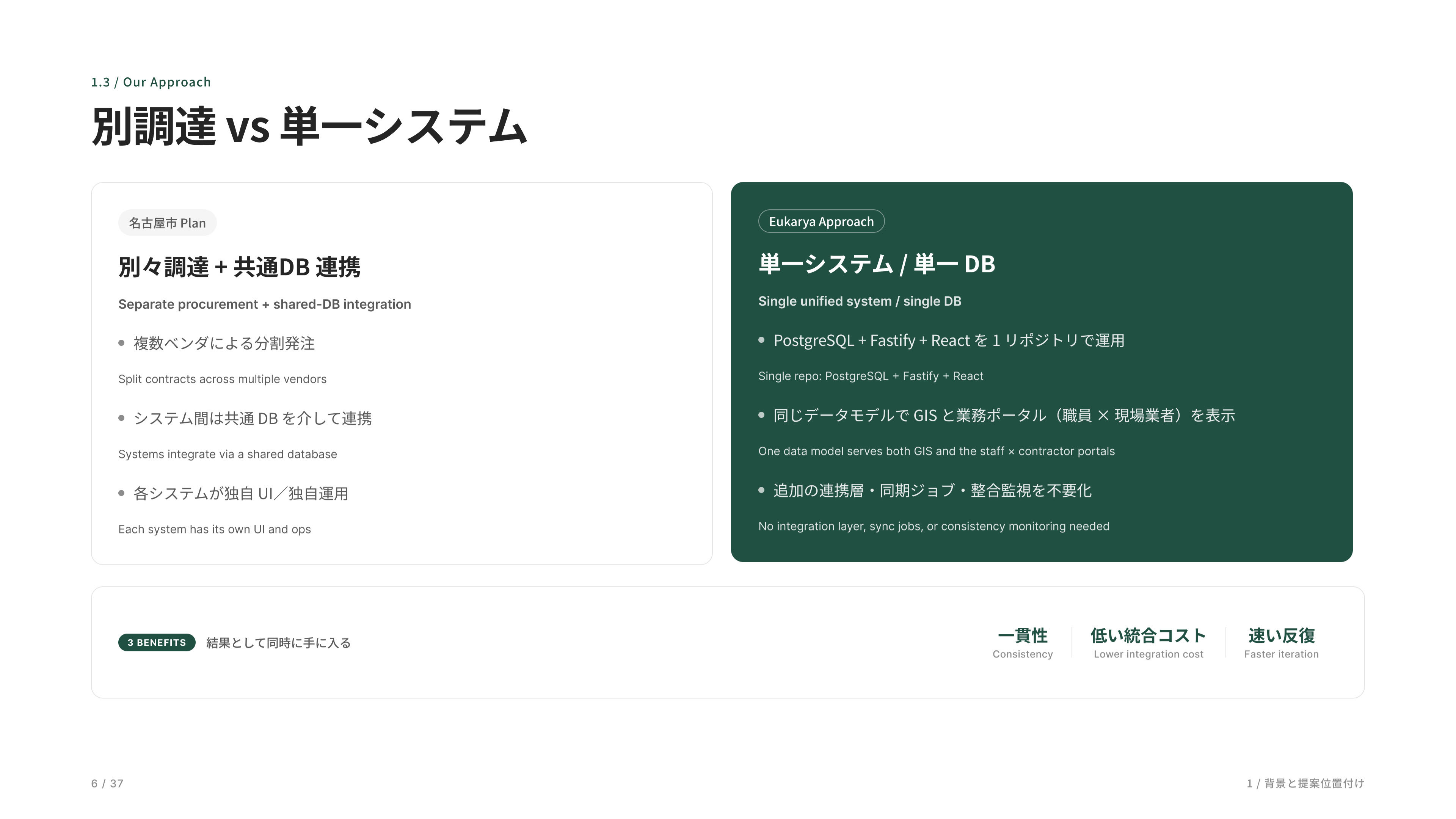
ここがソリューションの核心です。左が名古屋市が想定している分離調達モデル、右が私たちの一体型アプローチ。下に 3 つの利点を並べました。一貫性、低い統合コスト、速い反復、この 3 つを単一システムで実現します。
This is the core of the solution. The left side illustrates the separated procurement model assumed by the RFI, while the right side shows our integrated approach. The three key benefits are consistency, lower integration costs, and faster iteration—all enabled through a single unified system.
ロールは管理者、職員、業者の 3 つです。市民向けの公開 UI は今のところ未実装で、データを外部に出す Delivery API だけ用意しています。
The system currently supports three roles: administrators, municipal staff, and contractors. A public-facing citizen portal has not yet been implemented; however, a Delivery API is available to expose data to external services when needed.
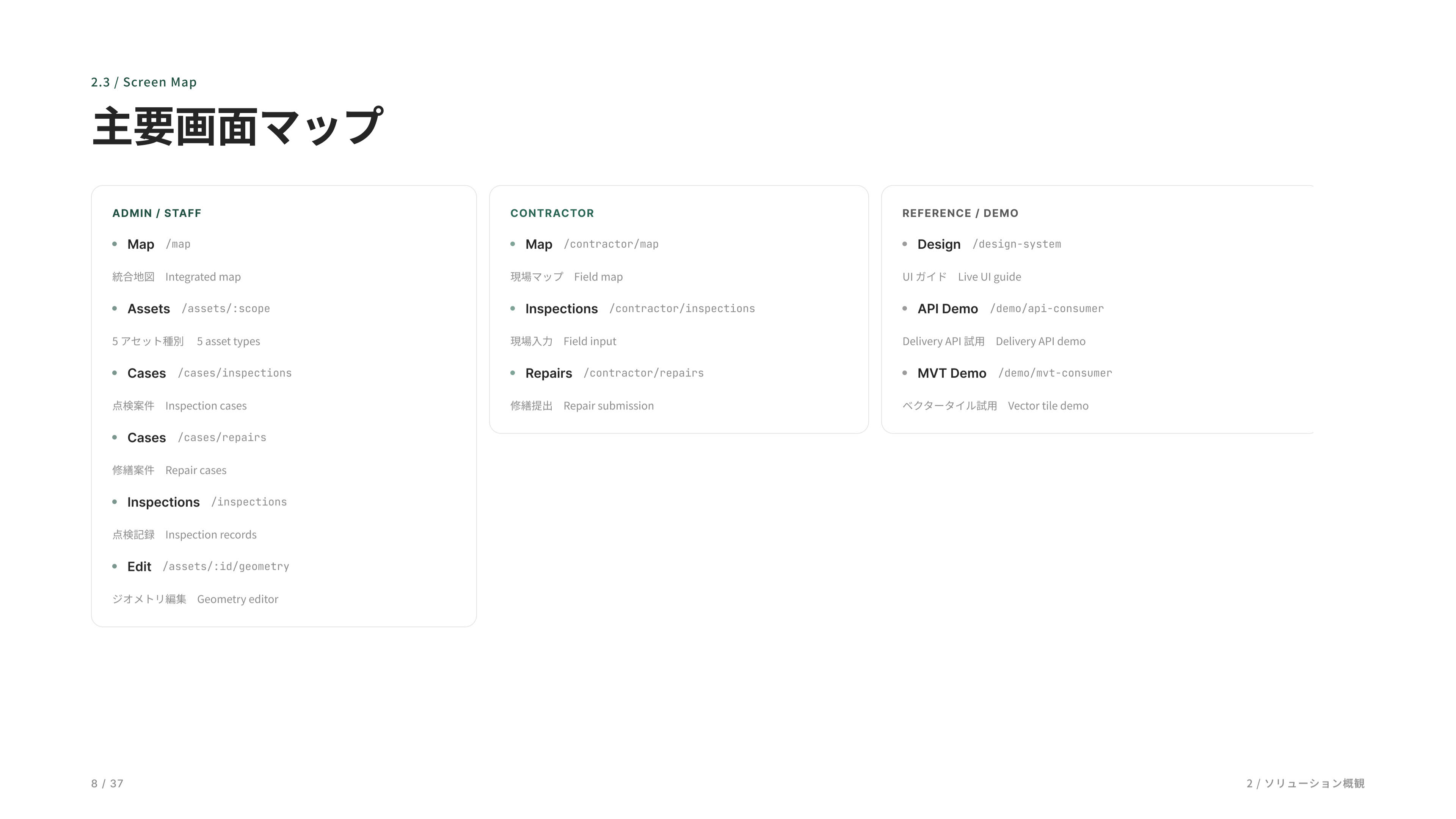
全体の画面マップです。管理者・職員、業者、リファレンス・デモの 3 グループに分けて整理しています。
This is the overall screen map of the platform, organized into three groups: Administrator & Staff, Contractor, and Reference & Demo.
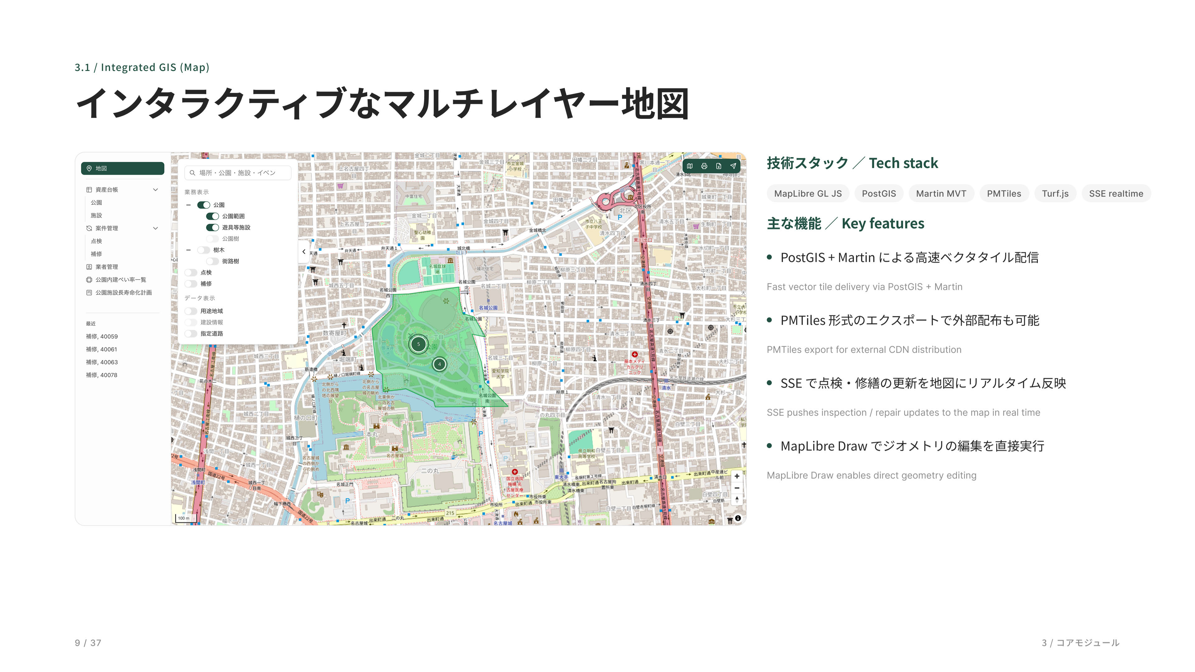
メインの地図画面です。MapLibre と PostGIS でできていて、点検や修繕の更新がリアルタイムで地図に反映されます。
This is the main GIS interface. Built on MapLibre and PostGIS, it provides a real-time view of parks, facilities, inspections, and maintenance activities, with updates immediately reflected on the map as work progresses.
都市インフラを一枚の地図にまとめた統合マップです。気になるエリアにズームすると施設が一つひとつのピンで表示され、クリックすればその場で写真や諸元を確認できます。
This integrated map brings urban infrastructure into a single view. As users zoom into an area of interest, individual facilities appear as map pins, allowing photos, specifications, and asset details to be accessed directly with a click.
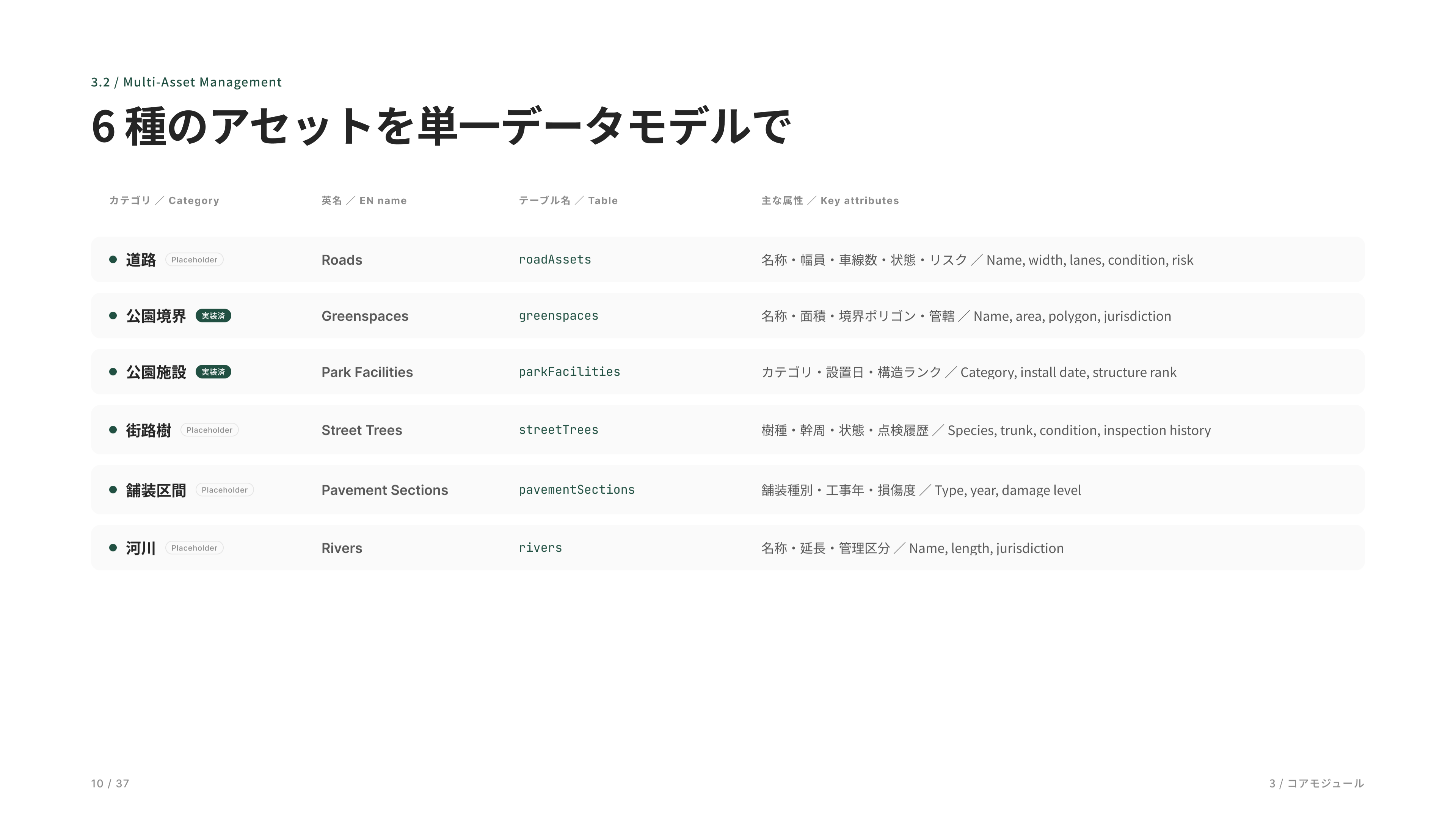
スキーマは 6 種類のアセットを用意してあります。最新プロトタイプで実装しているのは 2 種類、公園境界と公園施設です。残りの道路・街路樹・舗装区間・河川はデータモデルだけあって、必要になったら同じ仕組みで追加できる作りです。点検や修繕はどのアセットにも同じパターンで紐づけられます。
The schema defines six asset types. The current prototype implements two of them—park boundaries and park facilities. The remaining asset categories—roads, street trees, pavement segments, and rivers—are already modeled in the data structure and can be added using the same framework when needed. Inspections and maintenance records are linked to all asset types through a common workflow pattern.
公園の資産を一覧できる台帳です。検索に入力するだけで瞬時に絞り込め、行をクリックすればその場で詳細が開きます。
Asset registry for park infrastructure. Users can instantly filter records through search, and open detailed asset information directly from the list view with a single click.
公園施設の詳細画面です。写真や基本情報に加え、構造ランクや摩耗ランクなどの健全度評価、過去の点検履歴や補修履歴までを一元管理できます。施設ごとの状態変化や対応履歴を時系列で確認できるため、維持管理や修繕計画の判断を効率的に行えます。
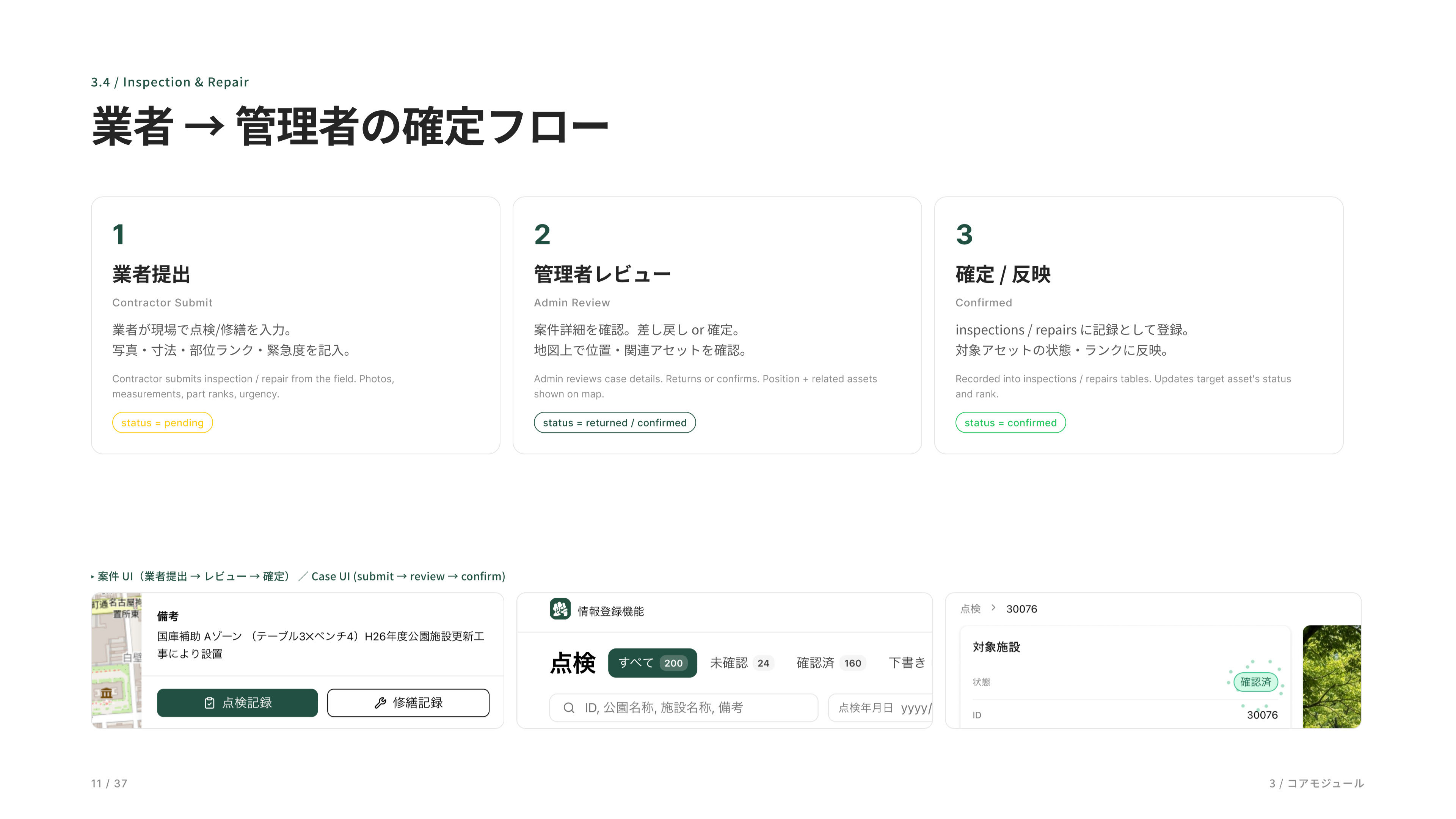
案件管理のフローです。業者さんが現場で写真と一緒に提出、管理者が確認、確定の 3 ステップ。緊急度と部位ランクでトリアージできます。
This is the work order management workflow. Contractors submit inspection results from the field with photos, administrators review the submission, and approved records are finalized through a simple three-step process. Priority and component condition ratings enable efficient triage and maintenance planning.
公園アセットおよび点検案件の一覧画面です。公園や施設などのアセット情報を検索・フィルターしながら管理できるほか、点検案件は未確認・確認済みや緊急度、対応状況で絞り込むことができます。目的の案件や資産情報へ素早くアクセスできるため、日常の維持管理業務や対応状況の把握を効率的に行えます。
This is the list view for park assets and inspection work orders. Users can search and filter asset records such as parks and facilities, while inspection cases can be narrowed by review status, priority level, and resolution status. The interface provides quick access to relevant assets and work orders, enabling more efficient day-to-day maintenance operations and progress tracking.